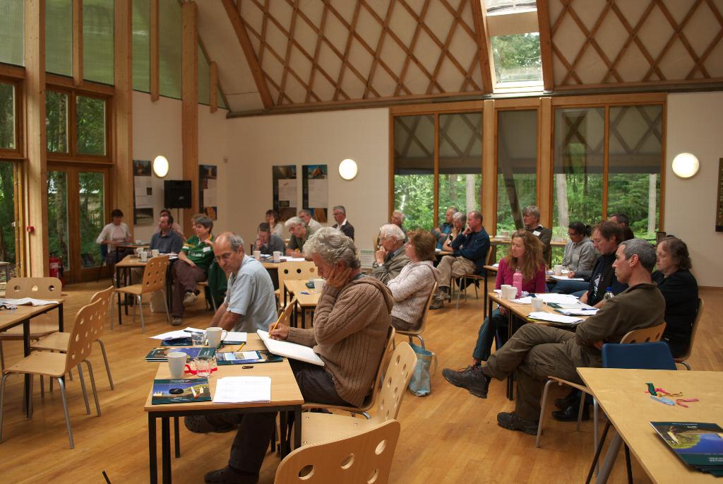
Last Saturday we had another SWOG meeting, this time at the Woodland Enterprise Centre in Flimwell. Several regulars weren't able to come, but we still had over 30 people.
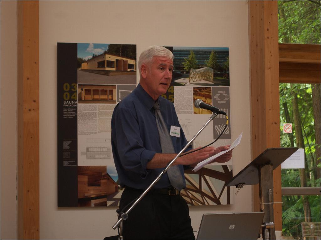
 In the morning we heard from Nick Ide, a planning consultant for Batcheller Thacker.
 He explained the labyrinth of planning and woodlands, and gave us insights into how planning officers think (he used to be one). I won't go into details here, but basically if you want to do some "development" (which can include pretty much anything), you first need to look at the local and area plans to see what the policy is, and make sure your proposed project fits in with them. If it does, it's more difficult for a planning officer to object.
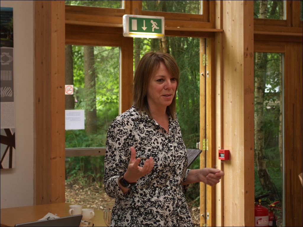
After lunch, we heard from Lyn Palmer, an archaeologist working in the Weald area.  She showed us some pictures made using LIDAR (LIght Detection And Ranging), which show up features such as old tracks, charcoal burning platforms, remains of forts and other interesting features. These are often invisible on the ground (until you know where to look for them) as the differences in the height of the ground are very subtle. You can read all about it in this PDF (1.6MB)
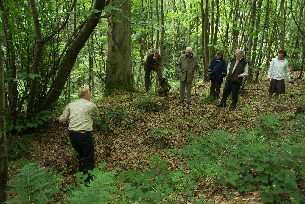
David Brown, of South East Woodland Archaeology Forum was next, and took a small group on a tour of some archaeological features of the woods at WEC. This is an old charcoal burning platform - you mostly spot them by their shape:
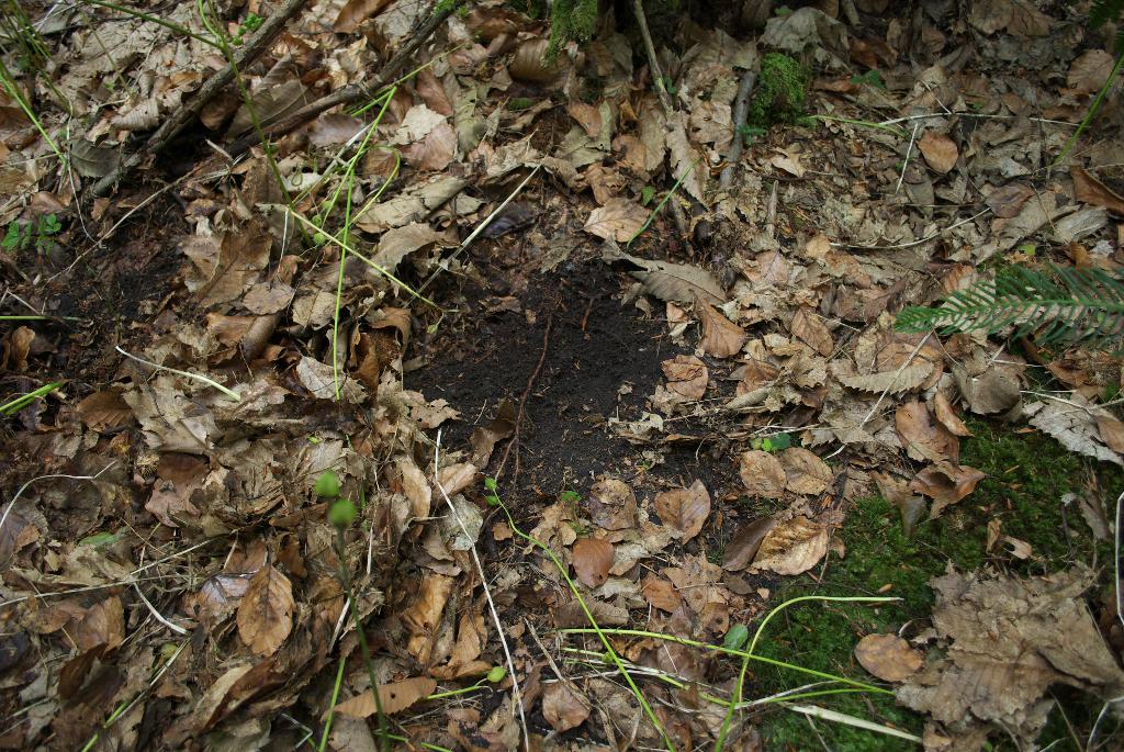
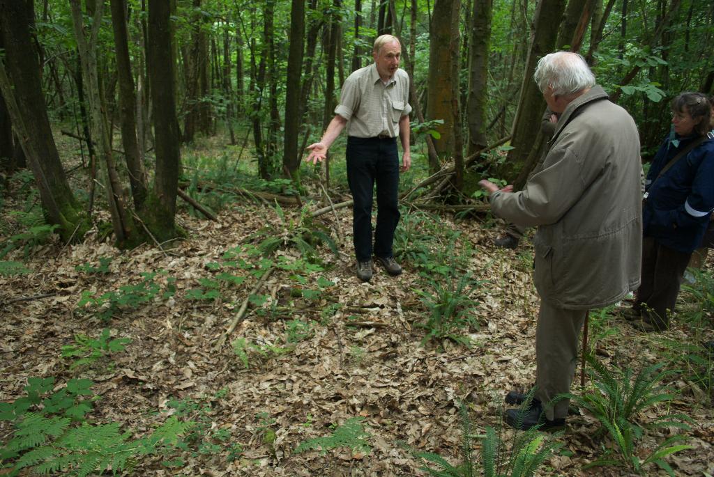
 but also by the dark colour of the earth, from years of charcoal fines being mixed in there:
  Next up was a saw pit, which would have been used to saw the butts of large trees lengthways to make planks (it would have been much deeper when in use):
 That's quite a large saw pit though, more commonly they are flatter, and therefore harder to spot:
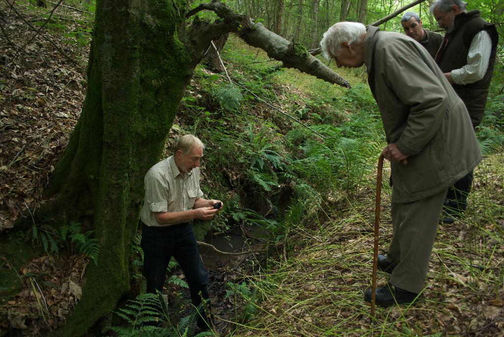
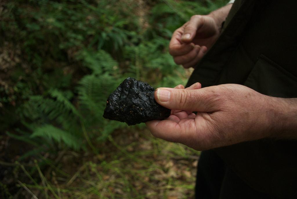
 Finally we visited the site of an old bloomery, where iron was smelted from ore dug out of the ground nearby.
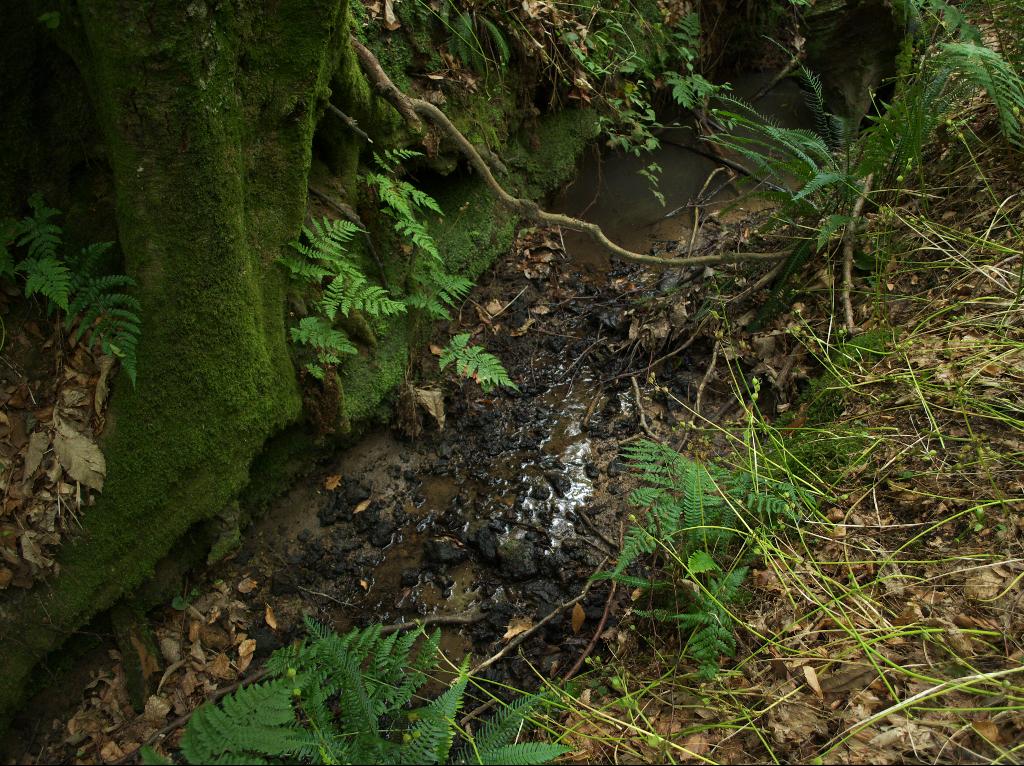
 In the stream were remains of the slag from the bloomery, which was very dense as it still contains quite a lot of iron:

 The only thing we didn't see was a wood bank (boundary marker, or feature to keep animals out), because at this time of year the bracken has grown so much they're hard to find!
Mike
Click here to read the rest of this post.